Four parts, one set of records.

Start with the part your project needs. Each one works on the same data.

Common questions

What are the parts of the platform?

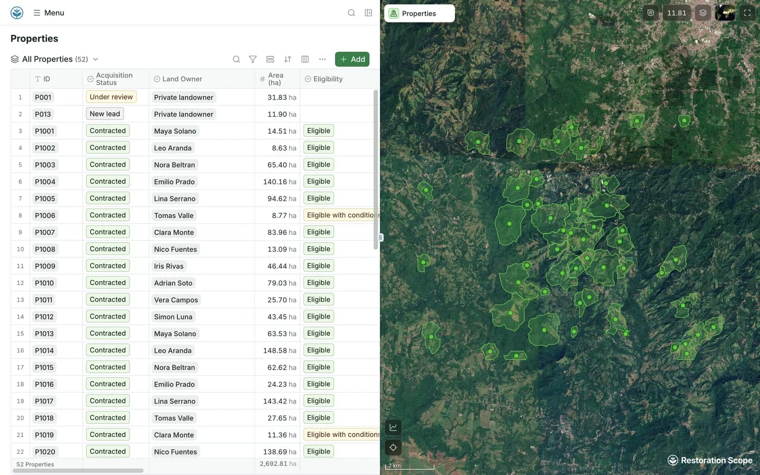
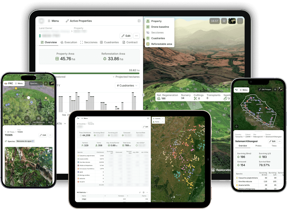
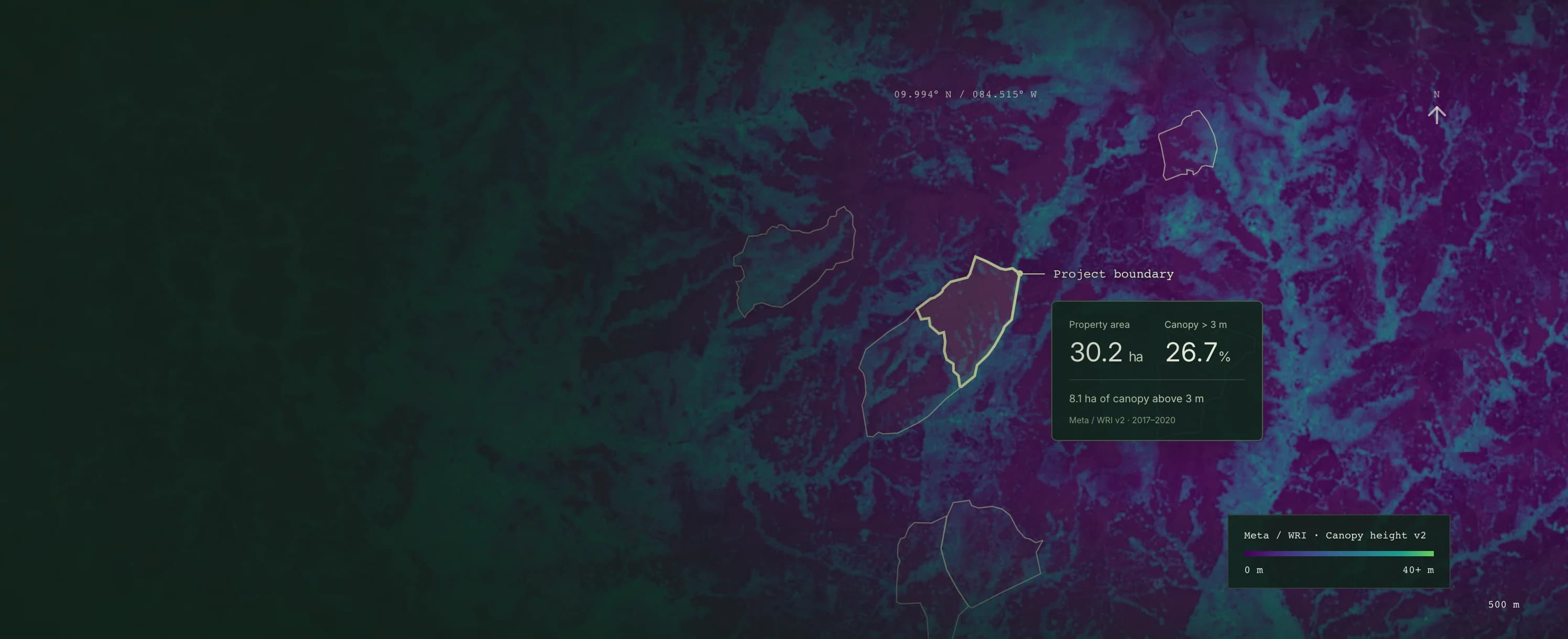
Four parts share the same records: the Data Platform connects your sources, the App Platform gives each team its maps, tables and dashboards, the Field App takes the records into the field, and geospatial workflows run analysis on your boundaries.

Do we need all four parts?

No. Start with the parts you need, such as field capture or monitoring, and we shape how they fit together as the project grows.

Is it the same software for every project?

Yes. One shared platform is configured for each project: Ponterra runs land and field operations on it, Acción Andina programme monitoring and One Tree Planted donor transparency.

Can it hold the records a carbon standard asks for?

Yes. Your methodology decides what you measure, and the plots, trees, planting events and monitoring visits are configured around it. Tables export as CSV for your verifier.

Which tools can it connect to?

Google Sheets, Excel, Kobo, Airtable, Salesforce, shapefiles, GeoJSON, KML, ArcGIS Online, QGIS, Earth Engine, drone imagery and field photos, among others.

Connect your data, understand your operations.

Bring in the spreadsheets, field forms and maps you already use, and see every site in one place.